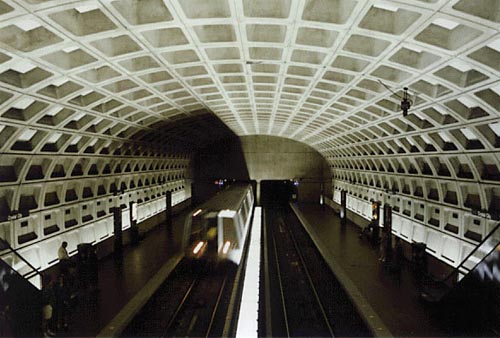

The Metro John reads from his guidebook that the District is laid out on a grid-like plan and divided into four quadrants, NW, NE, SW, SE. The diamond-shaped district is 10 miles square with the U.S. Capitol at the center. Lettered streets run east to west and numbered streets run north to south. Avenues named for U.S. states run diagonally and intersect with the east-west and north-south streets at the colorful traffic circles that are located throughout the city.
The easiest way to get around town is on the Metro. It is safe, clean and inexpensive and you can avoid all the troubles of finding a place to park near your favorite restaurant or museum. You have taken an escalator far underground and now you stand on a platform above the rails, watching the Metro trains come and go. Just be careful not to stand too close to the granite edge.